Saltburn
Introduction
The photograph on this page of Saltburn by Nick Ray as part of the Geograph project.
The Geograph project started in 2005 with the aim of publishing, organising and preserving representative images for every square kilometre of Great Britain, Ireland and the Isle of Man.

There are currently over 7.5m images from over 14,400 individuals and you can help contribute to the project by visiting https://www.geograph.org.uk
Saltburn
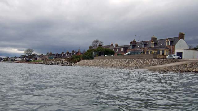
Image: © Nick Ray Taken: 9 Apr 2009
Saltburn is nothing more than a line of houses that join onto the larger town of Invergordon.
Images are licensed for reuse under creativecommons.org/licenses/by-sa/2.0
Image Location
Latitude
57.699688
Longitude
-4.141295