North Boreston
Introduction
The photograph on this page of North Boreston by Derek Harper as part of the Geograph project.
The Geograph project started in 2005 with the aim of publishing, organising and preserving representative images for every square kilometre of Great Britain, Ireland and the Isle of Man.

There are currently over 7.5m images from over 14,400 individuals and you can help contribute to the project by visiting https://www.geograph.org.uk
North Boreston
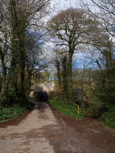
Image: © Derek Harper Taken: 4 Apr 2009
Boreston is a hamlet of four farms, although North Boreston is no longer worked as such. http://www.imagesofengland.org.uk/Details/Default.aspx?id=101238&mode=adv
Images are licensed for reuse under creativecommons.org/licenses/by-sa/2.0
Image Location
Latitude
50.370555
Longitude
-3.732357