Cutting works completed
Introduction
The photograph on this page of Cutting works completed by Jonathan Wilkins as part of the Geograph project.
The Geograph project started in 2005 with the aim of publishing, organising and preserving representative images for every square kilometre of Great Britain, Ireland and the Isle of Man.

There are currently over 7.5m images from over 14,400 individuals and you can help contribute to the project by visiting https://www.geograph.org.uk
Cutting works completed
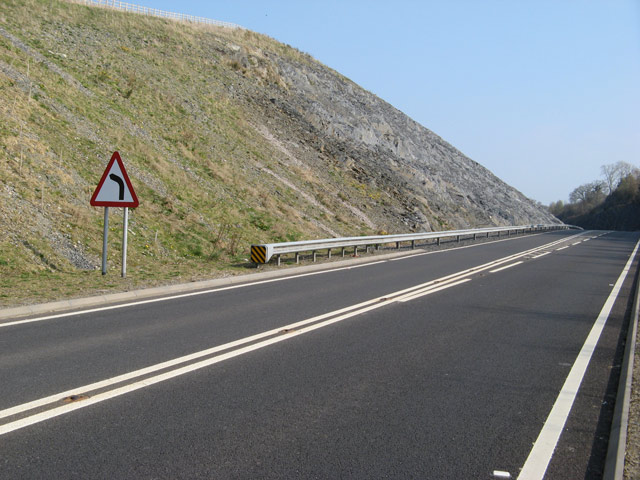
Image: © Jonathan Wilkins Taken: 3 Apr 2009
Eric Jones' image Imageof the new rock-cut in progress is complemented by this view of the completed works. Removal of the landslipped area and re-profiling have solved the problem of how to stabilise the faulted ground. For a historical view of the original construction, and the poor ground conditions, view Image
Images are licensed for reuse under creativecommons.org/licenses/by-sa/2.0
Image Location
Latitude
52.988414
Longitude
-3.502755