River Nethan
Introduction
The photograph on this page of River Nethan by G Laird as part of the Geograph project.
The Geograph project started in 2005 with the aim of publishing, organising and preserving representative images for every square kilometre of Great Britain, Ireland and the Isle of Man.

There are currently over 7.5m images from over 14,400 individuals and you can help contribute to the project by visiting https://www.geograph.org.uk
River Nethan
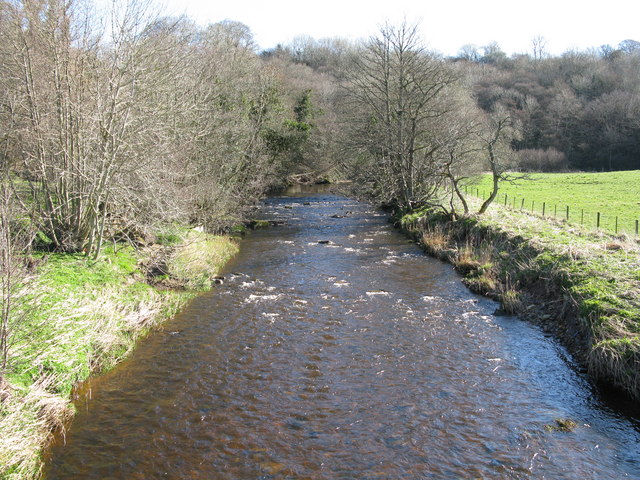
Image: © G Laird Taken: 29 Mar 2009
Looking up river from the bridge which carries the minor road from Tillietudlem to Crossford. At this point the river is just over one mile from the point where it flows into the River Clyde.
Images are licensed for reuse under creativecommons.org/licenses/by-sa/2.0
Image Location
Latitude
55.691269
Longitude
-3.884584