The Kings School
Introduction
The photograph on this page of The Kings School by Alan Murray-Rust as part of the Geograph project.
The Geograph project started in 2005 with the aim of publishing, organising and preserving representative images for every square kilometre of Great Britain, Ireland and the Isle of Man.

There are currently over 7.5m images from over 14,400 individuals and you can help contribute to the project by visiting https://www.geograph.org.uk
The Kings School
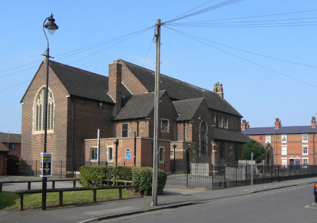
Image: © Alan Murray-Rust Taken: 20 Mar 2009
This is how it appears on some OS maps, which no longer mark it as a place of worship. Its condition suggests that it is no longer in use by the school, which has its main centre a few streets away.
Images are licensed for reuse under creativecommons.org/licenses/by-sa/2.0
Image Location
Latitude
52.937843
Longitude
-1.144257