Portobello island, Leamington Spa
Introduction
The photograph on this page of Portobello island, Leamington Spa by Robin Stott as part of the Geograph project.
The Geograph project started in 2005 with the aim of publishing, organising and preserving representative images for every square kilometre of Great Britain, Ireland and the Isle of Man.

There are currently over 7.5m images from over 14,400 individuals and you can help contribute to the project by visiting https://www.geograph.org.uk
Portobello island, Leamington Spa
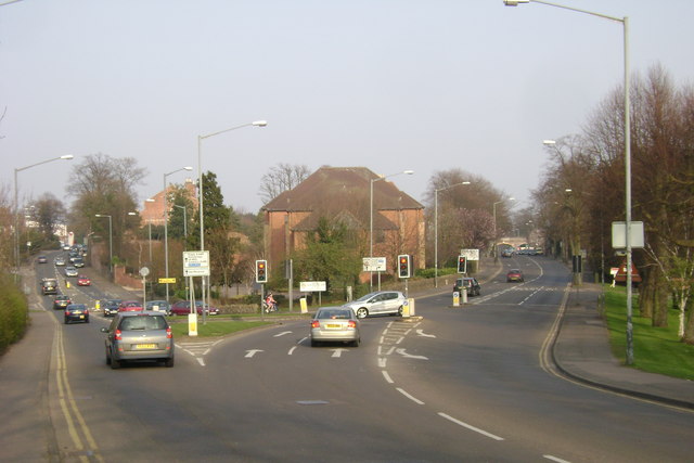
Image: © Robin Stott Taken: 21 Mar 2009
A major node on the local road network: Warwick's Emscote Road becomes Leamington's Rugby Road, left, on crossing the River Avon at Portobello Bridge. It heads north-east through the north Leamington suburbs. Warwick New Road, right, heads for the town centre. The solicitors' offices, centre, appeared on the site of an endearing bungalow following its unexplained demolition.
Images are licensed for reuse under creativecommons.org/licenses/by-sa/2.0
Image Location
Latitude
52.28951
Longitude
-1.558662