The approach to Ermine Street from Old Hall Green
Introduction
The photograph on this page of The approach to Ermine Street from Old Hall Green by Robert Edwards as part of the Geograph project.
The Geograph project started in 2005 with the aim of publishing, organising and preserving representative images for every square kilometre of Great Britain, Ireland and the Isle of Man.

There are currently over 7.5m images from over 14,400 individuals and you can help contribute to the project by visiting https://www.geograph.org.uk
The approach to Ermine Street from Old Hall Green
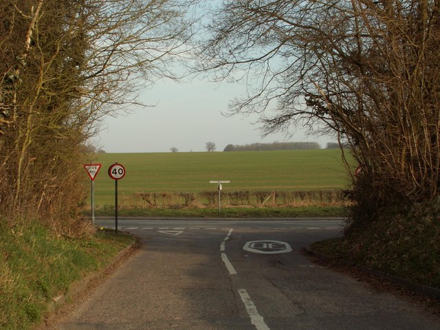
Image: © Robert Edwards Taken: 20 Mar 2009
The main road from left to right, used to be part of the old A10, which is also part of Ermine Street, a famous Roman road.
Images are licensed for reuse under creativecommons.org/licenses/by-sa/2.0
Image Location
Latitude
51.875426
Longitude
-0.005754