The Dell
Introduction
The photograph on this page of The Dell by Simon Carey as part of the Geograph project.
The Geograph project started in 2005 with the aim of publishing, organising and preserving representative images for every square kilometre of Great Britain, Ireland and the Isle of Man.

There are currently over 7.5m images from over 14,400 individuals and you can help contribute to the project by visiting https://www.geograph.org.uk
The Dell
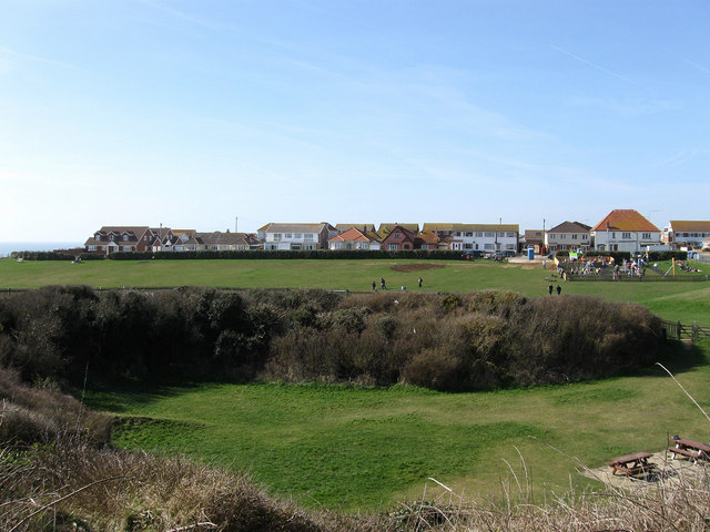
Image: © Simon Carey Taken: 15 Mar 2009
A small dip in the landscape has been given over as a public park. The dip in the foreground is the remains of a former gravel pit whilst the houses in the distance are in the southern section of Rowe Avenue.
Images are licensed for reuse under creativecommons.org/licenses/by-sa/2.0
Image Location
Latitude
50.791604
Longitude
-0.005983