Barmouth Bridge
Introduction
The photograph on this page of Barmouth Bridge by Gordon Hatton as part of the Geograph project.
The Geograph project started in 2005 with the aim of publishing, organising and preserving representative images for every square kilometre of Great Britain, Ireland and the Isle of Man.

There are currently over 7.5m images from over 14,400 individuals and you can help contribute to the project by visiting https://www.geograph.org.uk
Barmouth Bridge
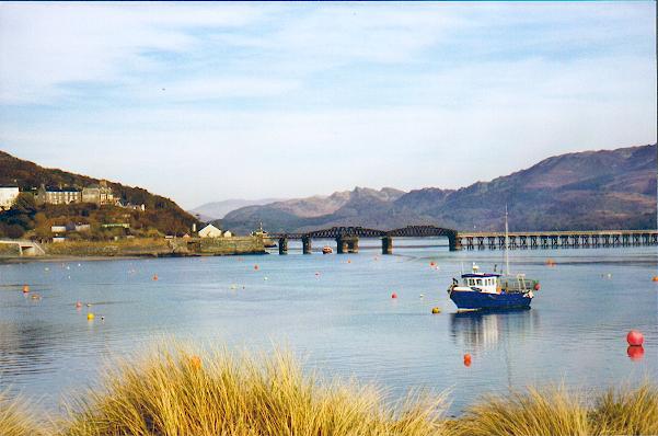
Image: © Gordon Hatton Taken: Unknown
The Shrewsbury to Pwllheli rail line passes over the Mawddach estuary at this point.
Images are licensed for reuse under creativecommons.org/licenses/by-sa/2.0
Image Location


Leaflet Map data © OpenStreetMap
Latitude
52.719372
Longitude
-4.051988