North Street, Ashburton
Introduction
The photograph on this page of North Street, Ashburton by Derek Harper as part of the Geograph project.
The Geograph project started in 2005 with the aim of publishing, organising and preserving representative images for every square kilometre of Great Britain, Ireland and the Isle of Man.

There are currently over 7.5m images from over 14,400 individuals and you can help contribute to the project by visiting https://www.geograph.org.uk
North Street, Ashburton
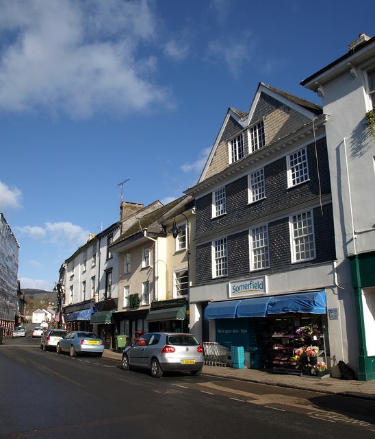
Image: © Derek Harper Taken: 9 Mar 2009
The twin-gabled building on the right is the late C17 or early C18 Card House, whose unusual slate-hung front features "shaped panels made up of playing card pips cut into the slate" http://www.imagesofengland.org.uk/details/default.aspx?id=376089 .
Images are licensed for reuse under creativecommons.org/licenses/by-sa/2.0
Image Location
Latitude
50.515713
Longitude
-3.756568