Clent Roundabout and the A491
Introduction
The photograph on this page of Clent Roundabout and the A491 by Jonathan Billinger as part of the Geograph project.
The Geograph project started in 2005 with the aim of publishing, organising and preserving representative images for every square kilometre of Great Britain, Ireland and the Isle of Man.

There are currently over 7.5m images from over 14,400 individuals and you can help contribute to the project by visiting https://www.geograph.org.uk
Clent Roundabout and the A491
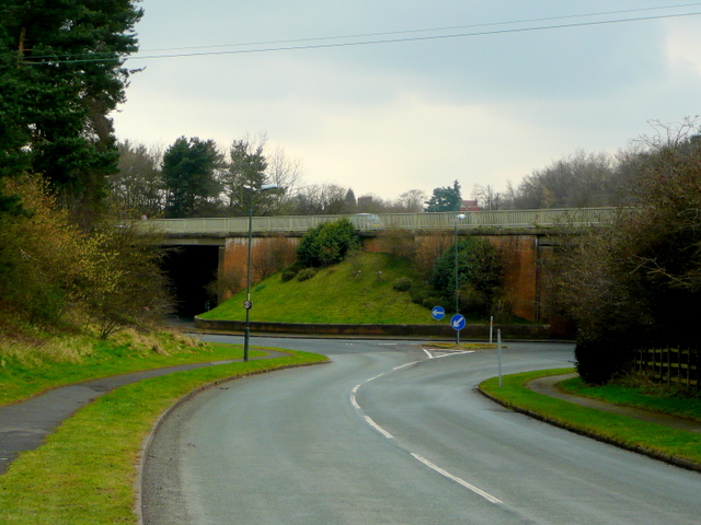
Image: © Jonathan Billinger Taken: 10 Mar 2009
The four-way minor road junction goes under the busy dual carriageway between Stourbridge and the M5. There is no access between the two, though.
Images are licensed for reuse under creativecommons.org/licenses/by-sa/2.0
Image Location
Latitude
52.413079
Longitude
-2.119482