Rickmansworth: Town Ditch (6)
Introduction
The photograph on this page of Rickmansworth: Town Ditch (6) by Nigel Cox as part of the Geograph project.
The Geograph project started in 2005 with the aim of publishing, organising and preserving representative images for every square kilometre of Great Britain, Ireland and the Isle of Man.

There are currently over 7.5m images from over 14,400 individuals and you can help contribute to the project by visiting https://www.geograph.org.uk
Rickmansworth: Town Ditch (6)
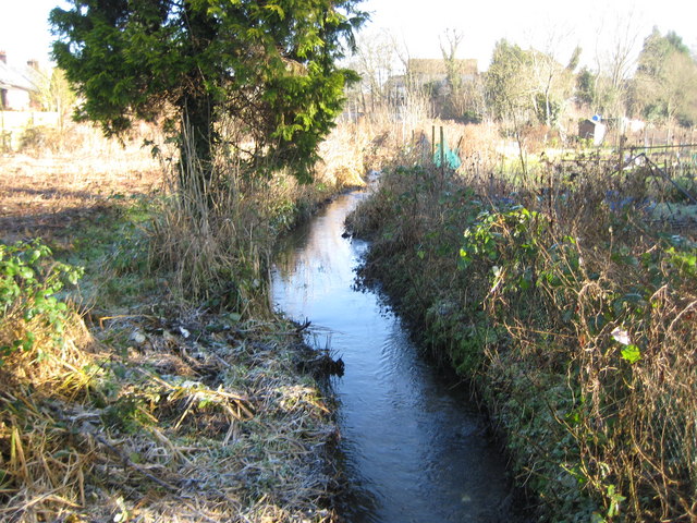
Image: © Nigel Cox Taken: 21 Jan 2009
Town Ditch is the main watercourse of the old field drain system built to improve and manage drainage in the town many years ago. It starts as an outfall from the River Chess to the east of the town before flowing into the River Colne to the west. Here it is looking upstream from the footbridge at the entrance to the Ebury Road allotment gardens.
Images are licensed for reuse under creativecommons.org/licenses/by-sa/2.0
Image Location
Latitude
51.637414
Longitude
-0.47475