Ruined hut near Moorlands Stud
Introduction
The photograph on this page of Ruined hut near Moorlands Stud by Bob Jones as part of the Geograph project.
The Geograph project started in 2005 with the aim of publishing, organising and preserving representative images for every square kilometre of Great Britain, Ireland and the Isle of Man.

There are currently over 7.5m images from over 14,400 individuals and you can help contribute to the project by visiting https://www.geograph.org.uk
Ruined hut near Moorlands Stud
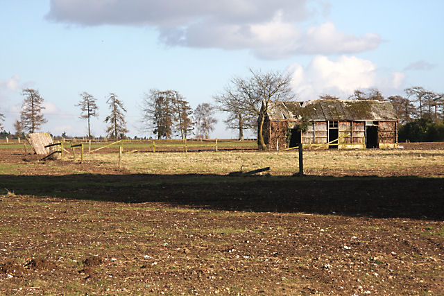
Image: © Bob Jones Taken: 6 Mar 2009
Viewed from the Herringswell Road, this old hut is situated in a field north of the village of Kentford.
Images are licensed for reuse under creativecommons.org/licenses/by-sa/2.0
Image Location
Latitude
52.278625
Longitude
0.503853