Llyn Pencarreg
Introduction
The photograph on this page of Llyn Pencarreg by Dan Gregory as part of the Geograph project.
The Geograph project started in 2005 with the aim of publishing, organising and preserving representative images for every square kilometre of Great Britain, Ireland and the Isle of Man.

There are currently over 7.5m images from over 14,400 individuals and you can help contribute to the project by visiting https://www.geograph.org.uk
Llyn Pencarreg
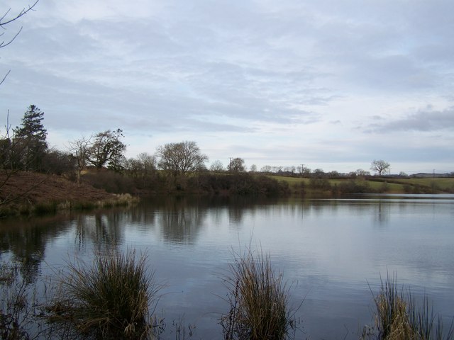
Image: © Dan Gregory Taken: 21 Feb 2009
This acidic lake, a Site of Special Scientific Interest (SSSI) lies in the north-east quarter of the gridsquare to the north of Pencarreg village and is locally important for the diversity of wintering waterfowl and for the breeding of pochard. The lake has no inflow or outflow streams and is assumed to have an artesian water supply. The maximum recorded depth is about 10 metres (33 feet).
Images are licensed for reuse under creativecommons.org/licenses/by-sa/2.0
Image Location
Latitude
52.089678
Longitude
-4.138868