View east along the Marriott's Way
Introduction
The photograph on this page of View east along the Marriott's Way by Evelyn Simak as part of the Geograph project.
The Geograph project started in 2005 with the aim of publishing, organising and preserving representative images for every square kilometre of Great Britain, Ireland and the Isle of Man.

There are currently over 7.5m images from over 14,400 individuals and you can help contribute to the project by visiting https://www.geograph.org.uk
View east along the Marriott's Way
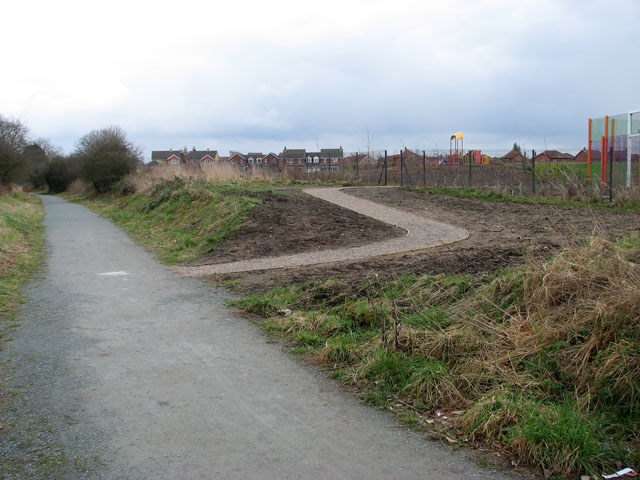
Image: © Evelyn Simak Taken: 4 Mar 2009
This section of the Marriott's way links Norwich Road, further to the east, with Hungate Street, and with Mileham Drive beyond.
Images are licensed for reuse under creativecommons.org/licenses/by-sa/2.0
Image Location
Latitude
52.789741
Longitude
1.248829