Path by A3047
Introduction
The photograph on this page of Path by A3047 by Derek Harper as part of the Geograph project.
The Geograph project started in 2005 with the aim of publishing, organising and preserving representative images for every square kilometre of Great Britain, Ireland and the Isle of Man.

There are currently over 7.5m images from over 14,400 individuals and you can help contribute to the project by visiting https://www.geograph.org.uk
Path by A3047
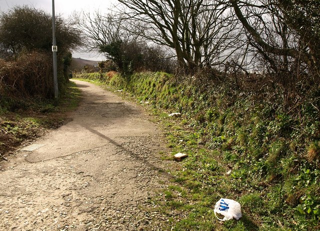
Image: © Derek Harper Taken: 23 Feb 2009
The path leads from Redruth School (and from the nearby Tesco, as the litter suggests) to the junction of West Park with the dual carriageway, which is just off to the right. Is this the former road?
Images are licensed for reuse under creativecommons.org/licenses/by-sa/2.0
Image Location
Latitude
50.233128
Longitude
-5.240353