Cleave Wood to the left, Shelfin wood to the right, Oakridge Farm in the centre
Introduction
The photograph on this page of Cleave Wood to the left, Shelfin wood to the right, Oakridge Farm in the centre by Roger A Smith as part of the Geograph project.
The Geograph project started in 2005 with the aim of publishing, organising and preserving representative images for every square kilometre of Great Britain, Ireland and the Isle of Man.

There are currently over 7.5m images from over 14,400 individuals and you can help contribute to the project by visiting https://www.geograph.org.uk
Cleave Wood to the left, Shelfin wood to the right, Oakridge Farm in the centre
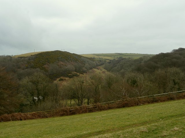
Image: © Roger A Smith Taken: 24 Feb 2009
The East Wilder Brook runs in the valley between the two woods. Across the horizon runs the Old Barnstaple road whilst the A361 is just beyond and below the trees in the foreground.
Images are licensed for reuse under creativecommons.org/licenses/by-sa/2.0
Image Location
Latitude
51.189471
Longitude
-4.111364