Gantley Avenue
Introduction
The photograph on this page of Gantley Avenue by Gary Rogers as part of the Geograph project.
The Geograph project started in 2005 with the aim of publishing, organising and preserving representative images for every square kilometre of Great Britain, Ireland and the Isle of Man.

There are currently over 7.5m images from over 14,400 individuals and you can help contribute to the project by visiting https://www.geograph.org.uk
Gantley Avenue
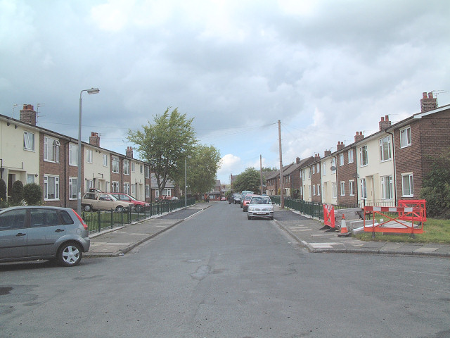
Image: © Gary Rogers Taken: 22 May 2005
Council flats in the centre-east part of the square. There's quite a range of residential housing types in the eastern half of this square.
Images are licensed for reuse under creativecommons.org/licenses/by-sa/2.0
Image Location


Leaflet Map data © OpenStreetMap
Latitude
53.526004
Longitude
-2.717982