Recreation ground, Oaklands, Rastrick
Introduction
The photograph on this page of Recreation ground, Oaklands, Rastrick by Humphrey Bolton as part of the Geograph project.
The Geograph project started in 2005 with the aim of publishing, organising and preserving representative images for every square kilometre of Great Britain, Ireland and the Isle of Man.

There are currently over 7.5m images from over 14,400 individuals and you can help contribute to the project by visiting https://www.geograph.org.uk
Recreation ground, Oaklands, Rastrick
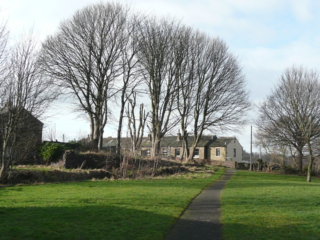
Image: © Humphrey Bolton Taken: 23 Feb 2009
When the Oaklands estate was built, probably in the 1930s, an area near the bottom was left undeveloped. A path crosses it leading to Lillands lane.
Images are licensed for reuse under creativecommons.org/licenses/by-sa/2.0
Image Location
Latitude
53.698761
Longitude
-1.793976