Fish Pond
Introduction
The photograph on this page of Fish Pond by Gary Rogers as part of the Geograph project.
The Geograph project started in 2005 with the aim of publishing, organising and preserving representative images for every square kilometre of Great Britain, Ireland and the Isle of Man.

There are currently over 7.5m images from over 14,400 individuals and you can help contribute to the project by visiting https://www.geograph.org.uk
Fish Pond
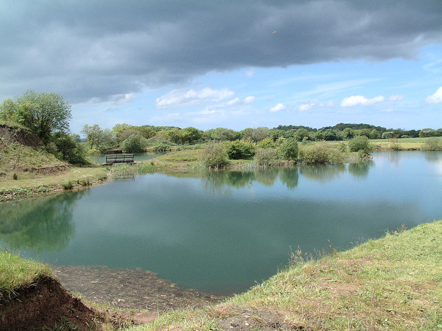
Image: © Gary Rogers Taken: 22 May 2005
This re-landscaped fish pond in the north east corner of the grid square was formed from the disused clay pits belonging to the brick works in the adjacent square to the east.
Images are licensed for reuse under creativecommons.org/licenses/by-sa/2.0
Image Location


Leaflet Map data © OpenStreetMap
Latitude
53.516925
Longitude
-2.73291