Izzy Bridge
Introduction
The photograph on this page of Izzy Bridge by Alexander P Kapp as part of the Geograph project.
The Geograph project started in 2005 with the aim of publishing, organising and preserving representative images for every square kilometre of Great Britain, Ireland and the Isle of Man.

There are currently over 7.5m images from over 14,400 individuals and you can help contribute to the project by visiting https://www.geograph.org.uk
Izzy Bridge
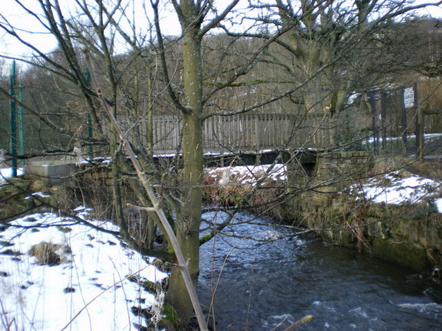
Image: © Alexander P Kapp Taken: 13 Feb 2009
Provides access for Holy Trinity School to their playing fields which lie on the other side of the River Tame from the school
Images are licensed for reuse under creativecommons.org/licenses/by-sa/2.0
Image Location


Leaflet Map data © OpenStreetMap
Latitude
53.555844
Longitude
-2.019887