Grazing land near Tiddesley Wood
Introduction
The photograph on this page of Grazing land near Tiddesley Wood by Trevor Rickard as part of the Geograph project.
The Geograph project started in 2005 with the aim of publishing, organising and preserving representative images for every square kilometre of Great Britain, Ireland and the Isle of Man.

There are currently over 7.5m images from over 14,400 individuals and you can help contribute to the project by visiting https://www.geograph.org.uk
Grazing land near Tiddesley Wood
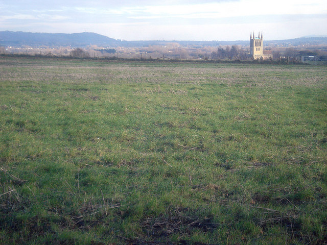
Image: © Trevor Rickard Taken: 1 Dec 2008
From the public footpath looking east across the top of the hill. Most of Pershore is out of view below the hillside, but the abbey tower makes a striking appearance as the walker heads around the corner of the wood.
Images are licensed for reuse under creativecommons.org/licenses/by-sa/2.0
Image Location
Latitude
52.109859
Longitude
-2.094282