Ashcombe Lane
Introduction
The photograph on this page of Ashcombe Lane by Simon Carey as part of the Geograph project.
The Geograph project started in 2005 with the aim of publishing, organising and preserving representative images for every square kilometre of Great Britain, Ireland and the Isle of Man.

There are currently over 7.5m images from over 14,400 individuals and you can help contribute to the project by visiting https://www.geograph.org.uk
Ashcombe Lane
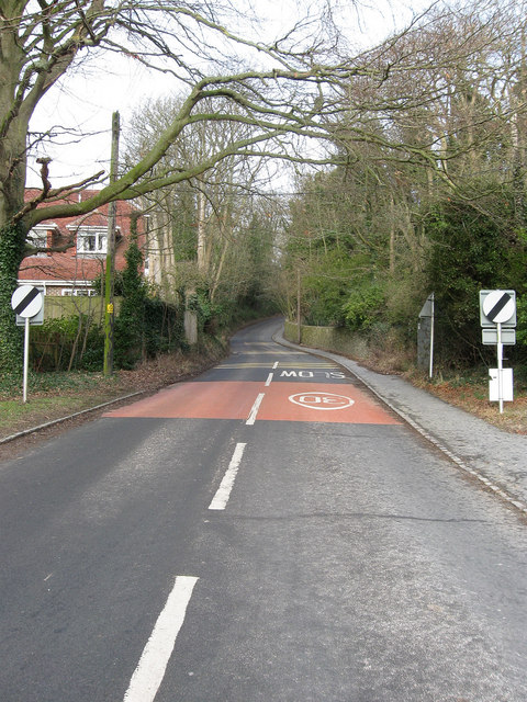
Image: © Simon Carey Taken: 8 Feb 2009
A continuation of Wellgreen Lane from the junction with The Street up Kingston Hollow to Nan Kemp's Corner where it becomes Ashcombe Hollow. The main route through the village and a notorious rat run for those wanting to join the A27 by avoiding Lewes.
Images are licensed for reuse under creativecommons.org/licenses/by-sa/2.0
Image Location
Latitude
50.860287
Longitude
-0.025506