Former stable block, Brunel Manor
Introduction
The photograph on this page of Former stable block, Brunel Manor by Derek Harper as part of the Geograph project.
The Geograph project started in 2005 with the aim of publishing, organising and preserving representative images for every square kilometre of Great Britain, Ireland and the Isle of Man.

There are currently over 7.5m images from over 14,400 individuals and you can help contribute to the project by visiting https://www.geograph.org.uk
Former stable block, Brunel Manor
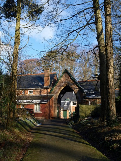
Image: © Derek Harper Taken: 7 Feb 2009
Built at around the same time as the main house, in the 1870s. Seen from the footpath between Seymour Drive and Teignmouth Road.
Images are licensed for reuse under creativecommons.org/licenses/by-sa/2.0
Image Location
Latitude
50.501158
Longitude
-3.525896