At the junction of Plymouth Road with Holmsdale Road
Introduction
The photograph on this page of At the junction of Plymouth Road with Holmsdale Road by Ruth Sharville as part of the Geograph project.
The Geograph project started in 2005 with the aim of publishing, organising and preserving representative images for every square kilometre of Great Britain, Ireland and the Isle of Man.

There are currently over 7.5m images from over 14,400 individuals and you can help contribute to the project by visiting https://www.geograph.org.uk
At the junction of Plymouth Road with Holmsdale Road
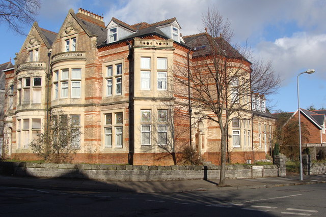
Image: © Ruth Sharville Taken: 7 Feb 2009
This building, which I take to be one or more private dwellings, is an example of the magnificent domestic architecture of Plymouth Road, which I am assuming to be late Victorian (but have not researched).
Images are licensed for reuse under creativecommons.org/licenses/by-sa/2.0
Image Location
Latitude
51.433483
Longitude
-3.172077