Start of the A38 Rubery Flyover.
Introduction
The photograph on this page of Start of the A38 Rubery Flyover. by Roy Hughes as part of the Geograph project.
The Geograph project started in 2005 with the aim of publishing, organising and preserving representative images for every square kilometre of Great Britain, Ireland and the Isle of Man.

There are currently over 7.5m images from over 14,400 individuals and you can help contribute to the project by visiting https://www.geograph.org.uk
Start of the A38 Rubery Flyover.
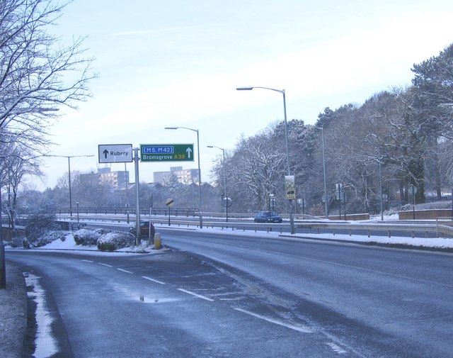
Image: © Roy Hughes Taken: 4 Feb 2009
The Rubery by-pass heading South towards the M5 Motorway Junction 4
Images are licensed for reuse under creativecommons.org/licenses/by-sa/2.0
Image Location
Latitude
52.395788
Longitude
-2.010243