Wilkin's Corner
Introduction
The photograph on this page of Wilkin's Corner by Oast House Archive as part of the Geograph project.
The Geograph project started in 2005 with the aim of publishing, organising and preserving representative images for every square kilometre of Great Britain, Ireland and the Isle of Man.

There are currently over 7.5m images from over 14,400 individuals and you can help contribute to the project by visiting https://www.geograph.org.uk
Wilkin's Corner
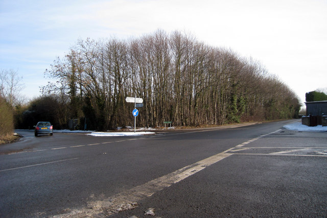
Image: © Oast House Archive Taken: 4 Feb 2009
At junction of Heath Road, Dean Street & Upper Hunton Hill. Wilkin's Corner is named after a former resident who lived in the cottages adjacent to the smallholding at this point.
Images are licensed for reuse under creativecommons.org/licenses/by-sa/2.0
Image Location
Latitude
51.235609
Longitude
0.482754