Gosden Hill Farm Road End
Introduction
The photograph on this page of Gosden Hill Farm Road End by Colin Smith as part of the Geograph project.
The Geograph project started in 2005 with the aim of publishing, organising and preserving representative images for every square kilometre of Great Britain, Ireland and the Isle of Man.

There are currently over 7.5m images from over 14,400 individuals and you can help contribute to the project by visiting https://www.geograph.org.uk
Gosden Hill Farm Road End
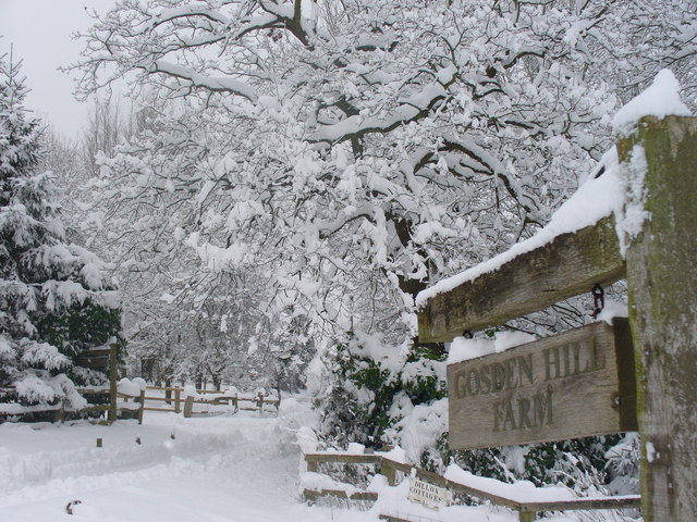
Image: © Colin Smith Taken: 2 Feb 2009
Tree-lined road from Merrow Lane on the eastern edge of Guildford. The farm has been the subject of speculative builders for decades.
Images are licensed for reuse under creativecommons.org/licenses/by-sa/2.0
Image Location
Latitude
51.263209
Longitude
-0.535185