St Mary's church, Sandbach
Introduction
The photograph on this page of St Mary's church, Sandbach by Stephen Craven as part of the Geograph project.
The Geograph project started in 2005 with the aim of publishing, organising and preserving representative images for every square kilometre of Great Britain, Ireland and the Isle of Man.

There are currently over 7.5m images from over 14,400 individuals and you can help contribute to the project by visiting https://www.geograph.org.uk
St Mary's church, Sandbach
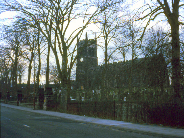
Image: © Stephen Craven Taken: Unknown
Surprisingly none of the other contributors who have covered the centre of this historic market town had Geographed the 15th century, grade II* listed parish church. This view from The Hill is scanned from an old slide but I will submit a contemporary photo later!
Images are licensed for reuse under creativecommons.org/licenses/by-sa/2.0
Image Location
Latitude
53.143619
Longitude
-2.360705