The centre of Worthenbury
Introduction
The photograph on this page of The centre of Worthenbury by John S Turner as part of the Geograph project.
The Geograph project started in 2005 with the aim of publishing, organising and preserving representative images for every square kilometre of Great Britain, Ireland and the Isle of Man.

There are currently over 7.5m images from over 14,400 individuals and you can help contribute to the project by visiting https://www.geograph.org.uk
The centre of Worthenbury
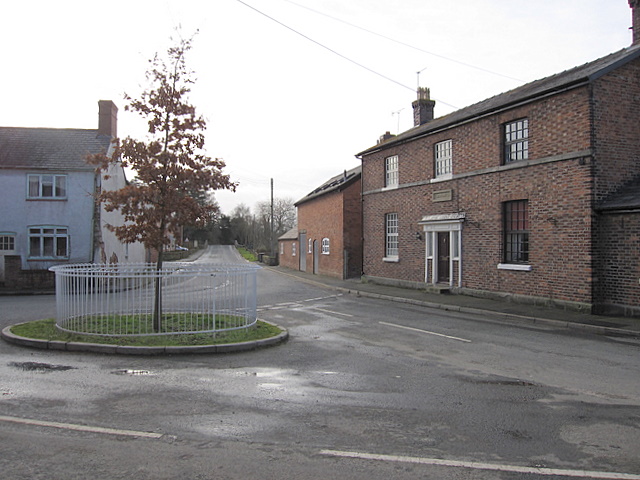
Image: © John S Turner Taken: 17 Jan 2009
The B5069 comes from Malpas to the left and continues straight ahead over Worthenbury Bridge towards Bangor on Dee.
Images are licensed for reuse under creativecommons.org/licenses/by-sa/2.0
Image Location
Latitude
53.009406
Longitude
-2.866763