McKinley Avenue, Hull
Introduction
The photograph on this page of McKinley Avenue, Hull by Paul Glazzard as part of the Geograph project.
The Geograph project started in 2005 with the aim of publishing, organising and preserving representative images for every square kilometre of Great Britain, Ireland and the Isle of Man.

There are currently over 7.5m images from over 14,400 individuals and you can help contribute to the project by visiting https://www.geograph.org.uk
McKinley Avenue, Hull
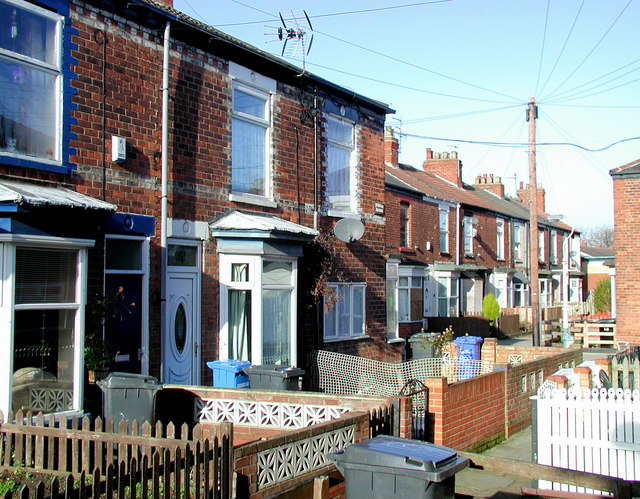
Image: © Paul Glazzard Taken: 21 Jan 2009
One of many short terraced streets in Hull which are too small to be shown on most street maps. Looking north-northwest towards Albermarle Street with Chester Grove beyond. These houses are scheduled for demolition between 2011 and 2014.
Images are licensed for reuse under creativecommons.org/licenses/by-sa/2.0
Image Location
Latitude
53.740971
Longitude
-0.369611