New Pond Farm
Introduction
The photograph on this page of New Pond Farm by Ian Capper as part of the Geograph project.
The Geograph project started in 2005 with the aim of publishing, organising and preserving representative images for every square kilometre of Great Britain, Ireland and the Isle of Man.

There are currently over 7.5m images from over 14,400 individuals and you can help contribute to the project by visiting https://www.geograph.org.uk
New Pond Farm
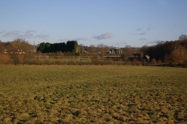
Image: © Ian Capper Taken: 18 Jan 2009
Playing fields on Woodhatch Road, viewed from the local authority open space which lies between Lonesome Lane and the A2044 Woodhatch Road alongside Earlswood Brook. In the distance on the right is Earlswood Sewage Works, and in the distance on the left can be seen the tower of the former Royal Earlswood Hospital, now a residential development.
Images are licensed for reuse under creativecommons.org/licenses/by-sa/2.0
Image Location
Latitude
51.217904
Longitude
-0.187134