More woodland lost to housing
Introduction
The photograph on this page of More woodland lost to housing by Talisman as part of the Geograph project.
The Geograph project started in 2005 with the aim of publishing, organising and preserving representative images for every square kilometre of Great Britain, Ireland and the Isle of Man.

There are currently over 7.5m images from over 14,400 individuals and you can help contribute to the project by visiting https://www.geograph.org.uk
More woodland lost to housing
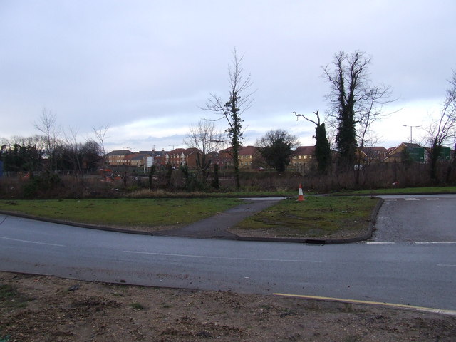
Image: © Talisman Taken: 18 Jan 2009
The picture shows the few remaining trees that are standing on what was until recently an undeveloped patch of Turnford opposite Turnford college. One and two bedroom flats are to built on this piece of land between High Road Turnford and the Canadas development that can be seen in the background. Supporting the current Government's policy of concreting the south east.
Images are licensed for reuse under creativecommons.org/licenses/by-sa/2.0
Image Location
Latitude
51.724083
Longitude
-0.026901