Near the footpath to a farm, east of Prestbury
Introduction
The photograph on this page of Near the footpath to a farm, east of Prestbury by Brian Robert Marshall as part of the Geograph project.
The Geograph project started in 2005 with the aim of publishing, organising and preserving representative images for every square kilometre of Great Britain, Ireland and the Isle of Man.

There are currently over 7.5m images from over 14,400 individuals and you can help contribute to the project by visiting https://www.geograph.org.uk
Near the footpath to a farm, east of Prestbury
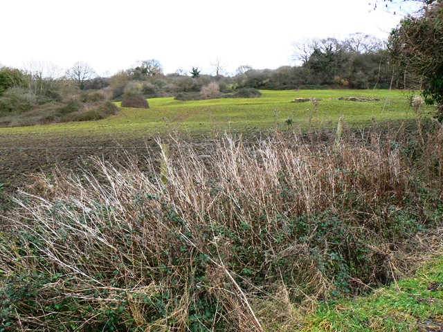
Image: © Brian Robert Marshall Taken: 16 Jan 2009
The title is vague as to the farm in question as its name differs depending on the map you look at. On the 1:50k map the name is 'Lower Hill Farm', on the 1:25k 'Badgers Mount Farm'. Royal Mail have it listed as 'Badgers Farm'.
Images are licensed for reuse under creativecommons.org/licenses/by-sa/2.0
Image Location
Latitude
51.912099
Longitude
-2.026993