Farmland near the Old Carrick Road
Introduction
The photograph on this page of Farmland near the Old Carrick Road by Albert Thompson as part of the Geograph project.
The Geograph project started in 2005 with the aim of publishing, organising and preserving representative images for every square kilometre of Great Britain, Ireland and the Isle of Man.

There are currently over 7.5m images from over 14,400 individuals and you can help contribute to the project by visiting https://www.geograph.org.uk
Farmland near the Old Carrick Road
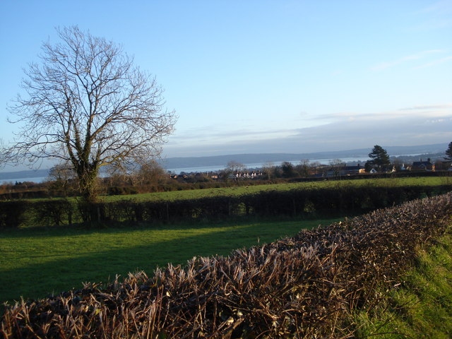
Image: © Albert Thompson Taken: 13 Jan 2009
Farmland near the Old Carrick Road looking South East from the Koockagh Road. The Oaklands housing development is beyond the farmland and Belfast Lough can be seen in the distant horizon.
Images are licensed for reuse under creativecommons.org/licenses/by-sa/2.0
Image Location
Latitude
54.697985
Longitude
-5.910987