Willett Way
Introduction
The photograph on this page of Willett Way by Ian Capper as part of the Geograph project.
The Geograph project started in 2005 with the aim of publishing, organising and preserving representative images for every square kilometre of Great Britain, Ireland and the Isle of Man.

There are currently over 7.5m images from over 14,400 individuals and you can help contribute to the project by visiting https://www.geograph.org.uk
Willett Way
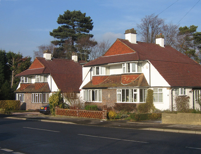
Image: © Ian Capper Taken: 8 Jan 2009
Chalet style semi-detached houses built by the builder William Brise in the 1930s, who developed the southern end of Willett Way and four cul-de-sacs running off Willett Way, all in this style.
Images are licensed for reuse under creativecommons.org/licenses/by-sa/2.0
Image Location
Latitude
51.386944
Longitude
0.085127