Branksome, boundary post
Introduction
The photograph on this page of Branksome, boundary post by Mike Faherty as part of the Geograph project.
The Geograph project started in 2005 with the aim of publishing, organising and preserving representative images for every square kilometre of Great Britain, Ireland and the Isle of Man.

There are currently over 7.5m images from over 14,400 individuals and you can help contribute to the project by visiting https://www.geograph.org.uk
Branksome, boundary post
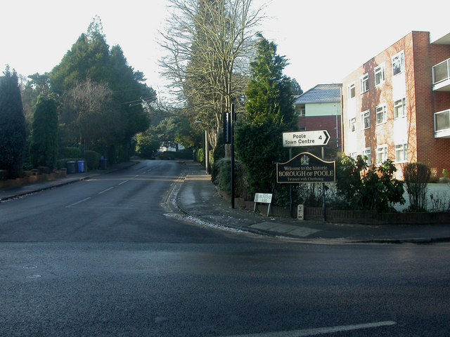
Image: © Mike Faherty Taken: 9 Jan 2009
At the junction of Surrey & Brunstead Roads, though the actual boundary is some way to the east. Local authorities have adopted this pattern of boundary post, with undulating top; perhaps supposed to be redolent of the sea.
Images are licensed for reuse under creativecommons.org/licenses/by-sa/2.0
Image Location
Latitude
50.728283
Longitude
-1.905659