Trumpkins
Introduction
The photograph on this page of Trumpkins by Simon Carey as part of the Geograph project.
The Geograph project started in 2005 with the aim of publishing, organising and preserving representative images for every square kilometre of Great Britain, Ireland and the Isle of Man.

There are currently over 7.5m images from over 14,400 individuals and you can help contribute to the project by visiting https://www.geograph.org.uk
Trumpkins
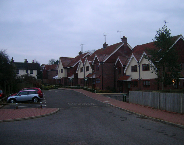
Image: © Simon Carey Taken: 4 Jan 2009
Small housing development between Brown Twins Road car park and the high street. Two of them are already available for letting.
Images are licensed for reuse under creativecommons.org/licenses/by-sa/2.0
Image Location
Latitude
50.93315
Longitude
-0.1757