Fields and trees at Lintrathen
Introduction
The photograph on this page of Fields and trees at Lintrathen by Mike Pennington as part of the Geograph project.
The Geograph project started in 2005 with the aim of publishing, organising and preserving representative images for every square kilometre of Great Britain, Ireland and the Isle of Man.

There are currently over 7.5m images from over 14,400 individuals and you can help contribute to the project by visiting https://www.geograph.org.uk
Fields and trees at Lintrathen
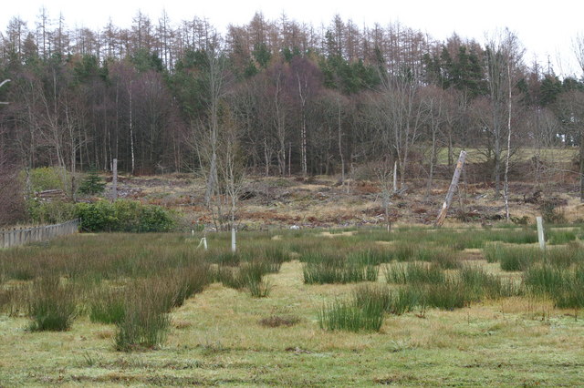
Image: © Mike Pennington Taken: 2 Jan 2009
An area of clearfell is visible; much of the woodland around the loch has been removed in recent years.
Images are licensed for reuse under creativecommons.org/licenses/by-sa/2.0
Image Location
Latitude
56.671319
Longitude
-3.184004