First pylon west of Broomhall substation
Introduction
The photograph on this page of First pylon west of Broomhall substation by Andrew Darge as part of the Geograph project.
The Geograph project started in 2005 with the aim of publishing, organising and preserving representative images for every square kilometre of Great Britain, Ireland and the Isle of Man.

There are currently over 7.5m images from over 14,400 individuals and you can help contribute to the project by visiting https://www.geograph.org.uk
First pylon west of Broomhall substation
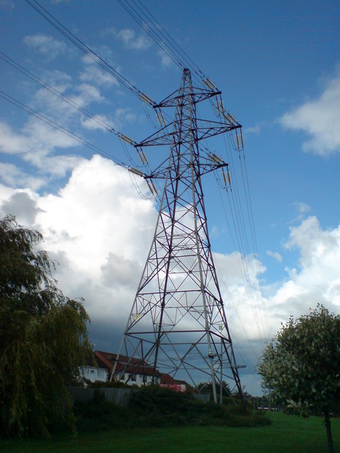
Image: © Andrew Darge Taken: 21 Aug 2008
This set of powerlines running east west currently marks the southern boundary of Worcester's housing . The innermost lines dip down to the substation while the outer three continue east. http://www.pylons.org
Images are licensed for reuse under creativecommons.org/licenses/by-sa/2.0
Image Location
Latitude
52.165903
Longitude
-2.208147