Reads Rest Lane
Introduction
The photograph on this page of Reads Rest Lane by Hugh Craddock as part of the Geograph project.
The Geograph project started in 2005 with the aim of publishing, organising and preserving representative images for every square kilometre of Great Britain, Ireland and the Isle of Man.

There are currently over 7.5m images from over 14,400 individuals and you can help contribute to the project by visiting https://www.geograph.org.uk
Reads Rest Lane
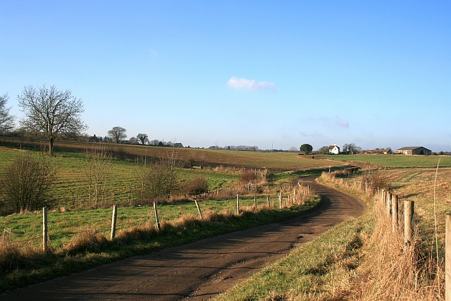
Image: © Hugh Craddock Taken: 28 Dec 2008
Reads Rest Lane is a private road and public bridleway (Banstead 46) leading to Image Ahead is a junction with bridleway 45 Image, heading sharp left and steeply down the valley (barely discernable in the photo) towards Chiphouse Wood and Outwood Lane, and just beyond, another junction with bridleway 46 Image heading up the nearside of the hedge in the field on the left, towards Copt Hill Lane.
Images are licensed for reuse under creativecommons.org/licenses/by-sa/2.0
Image Location
Latitude
51.302465
Longitude
-0.202985