Properties on Hatham Green Lane
Introduction
The photograph on this page of Properties on Hatham Green Lane by Stephen Craven as part of the Geograph project.
The Geograph project started in 2005 with the aim of publishing, organising and preserving representative images for every square kilometre of Great Britain, Ireland and the Isle of Man.

There are currently over 7.5m images from over 14,400 individuals and you can help contribute to the project by visiting https://www.geograph.org.uk
Properties on Hatham Green Lane
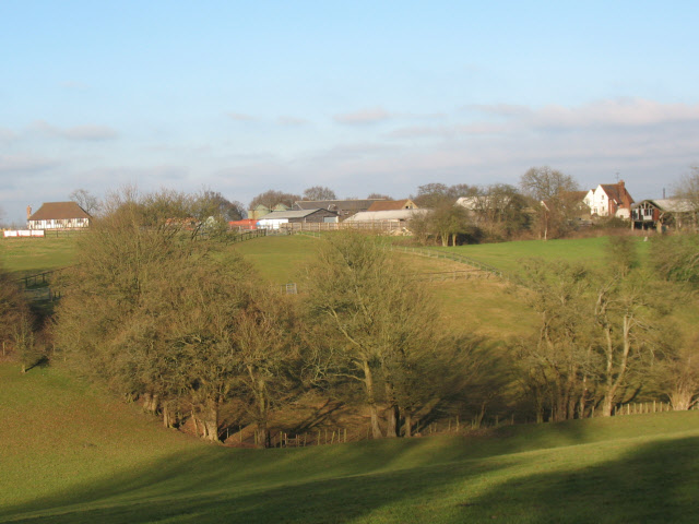
Image: © Stephen Craven Taken: 26 Dec 2008
There are several properties along Hatham Green Lane, shown as a single block on the Landranger map. This is the view from the footpath crossing the shallow valley between them and Plaxdale Green Road.
Images are licensed for reuse under creativecommons.org/licenses/by-sa/2.0
Image Location
Latitude
51.335038
Longitude
0.29057