Approaching the Caw Roundabout
Introduction
The photograph on this page of Approaching the Caw Roundabout by Kenneth Allen as part of the Geograph project.
The Geograph project started in 2005 with the aim of publishing, organising and preserving representative images for every square kilometre of Great Britain, Ireland and the Isle of Man.

There are currently over 7.5m images from over 14,400 individuals and you can help contribute to the project by visiting https://www.geograph.org.uk
Approaching the Caw Roundabout
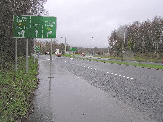
Image: © Kenneth Allen Taken: 18 Jan 2006
Roads lead to Londonderry, Foyle Bridge and Limavady
Images are licensed for reuse under creativecommons.org/licenses/by-sa/2.0
Image Location


Leaflet Map data © OpenStreetMap
Latitude
55.00731
Longitude
-7.277136