Bournemouth, Littledown Common
Introduction
The photograph on this page of Bournemouth, Littledown Common by Mike Faherty as part of the Geograph project.
The Geograph project started in 2005 with the aim of publishing, organising and preserving representative images for every square kilometre of Great Britain, Ireland and the Isle of Man.

There are currently over 7.5m images from over 14,400 individuals and you can help contribute to the project by visiting https://www.geograph.org.uk
Bournemouth, Littledown Common
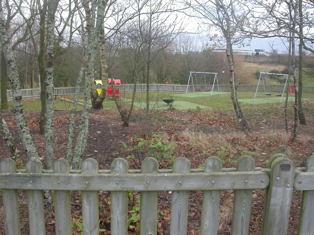
Image: © Mike Faherty Taken: 12 Dec 2008
Littledown Common has two playgrounds; this one with smaller equipment, and the other with larger, both set amidst pleasant trees. http://www.bournemouth.gov.uk/Library/PDF/Landscape/DRAFT%20WOODLAND%20STRATEGY%2006-2006.pdf
Images are licensed for reuse under creativecommons.org/licenses/by-sa/2.0
Image Location
Latitude
50.739665
Longitude
-1.831377