School Lane, Evington near Leicester
Introduction
The photograph on this page of School Lane, Evington near Leicester by Kate Jewell as part of the Geograph project.
The Geograph project started in 2005 with the aim of publishing, organising and preserving representative images for every square kilometre of Great Britain, Ireland and the Isle of Man.

There are currently over 7.5m images from over 14,400 individuals and you can help contribute to the project by visiting https://www.geograph.org.uk
School Lane, Evington near Leicester
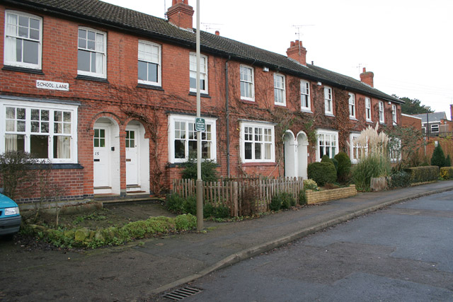
Image: © Kate Jewell Taken: 17 Jan 2006
Evington is a village which has been absorbed into the city suburbs. This row of Victorian cottages are a remnant of a by-gone age. See http://www.leicester.gov.uk/index.asp?pgid=4251
Images are licensed for reuse under creativecommons.org/licenses/by-sa/2.0
Image Location
Latitude
52.620265
Longitude
-1.076456