King Street, Southwell
Introduction
The photograph on this page of King Street, Southwell by Ajay Tegala as part of the Geograph project.
The Geograph project started in 2005 with the aim of publishing, organising and preserving representative images for every square kilometre of Great Britain, Ireland and the Isle of Man.

There are currently over 7.5m images from over 14,400 individuals and you can help contribute to the project by visiting https://www.geograph.org.uk
King Street, Southwell
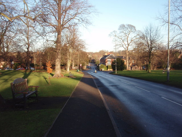
Image: © Ajay Tegala Taken: 10 Dec 2008
Looking along King Street towards its crossroads with Lower Kirkington Road (left), Station Road (ahead) and Newark Road (right).
Images are licensed for reuse under creativecommons.org/licenses/by-sa/2.0
Image Location
Latitude
53.080466
Longitude
-0.948553