Roundabout on B2005 Mill Way, Sittingbourne
Introduction
The photograph on this page of Roundabout on B2005 Mill Way, Sittingbourne by David Anstiss as part of the Geograph project.
The Geograph project started in 2005 with the aim of publishing, organising and preserving representative images for every square kilometre of Great Britain, Ireland and the Isle of Man.

There are currently over 7.5m images from over 14,400 individuals and you can help contribute to the project by visiting https://www.geograph.org.uk
Roundabout on B2005 Mill Way, Sittingbourne
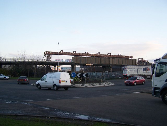
Image: © David Anstiss Taken: 4 Dec 2008
Busy junction with St Paul's Street (on right), coming from A249/Milton Regis. Mill Way heading left leads to Kemsley/Iwade. Mill Way heading right leads to Sittingbourne Town Centre. Railway in background is the SKLR (Sittingbourne and Kemsley Light Railway),running from Sittingbourne to Kemsley Down, currently under threat of closure. See http://sklr.net for more details on the campaign to save the steam railway.
Images are licensed for reuse under creativecommons.org/licenses/by-sa/2.0
Image Location
Latitude
51.346775
Longitude
0.732902