Footpath to Rocher Bridge, near Middlewood Tavern, Oughtibridge
Introduction
The photograph on this page of Footpath to Rocher Bridge, near Middlewood Tavern, Oughtibridge by Terry Robinson as part of the Geograph project.
The Geograph project started in 2005 with the aim of publishing, organising and preserving representative images for every square kilometre of Great Britain, Ireland and the Isle of Man.

There are currently over 7.5m images from over 14,400 individuals and you can help contribute to the project by visiting https://www.geograph.org.uk
Footpath to Rocher Bridge, near Middlewood Tavern, Oughtibridge
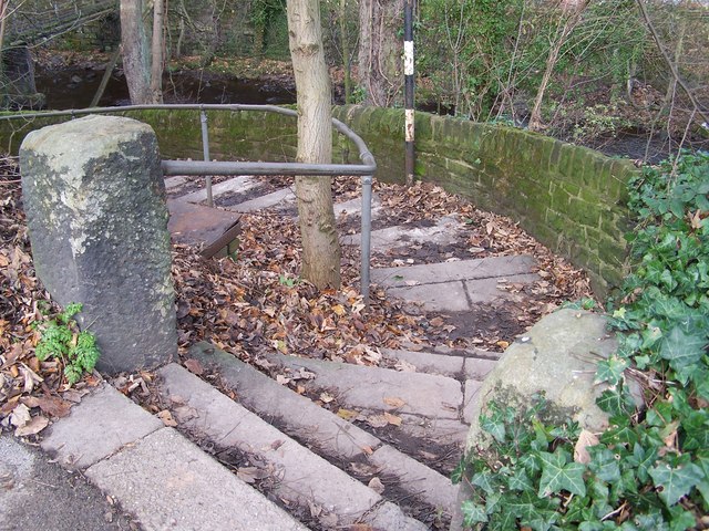
Image: © Terry Robinson Taken: 1 Dec 2008
Image Image Image Image Update in April 2014 I have been contacted by Roy Koerner, who lived in the Middlewood area 'in his youth' … who tells me that Rocher Bridge is in fact a footbridge over the nearby railway line, approximately half a mile to the North East … and indeed this is verified if you enlarge the OS map. Roy recalls his father referring to the bridge pictured as 'Killiecrankie Bridge' but assumes this was just a local name as he can't find any reference to this on any maps.
Images are licensed for reuse under creativecommons.org/licenses/by-sa/2.0
Image Location
Latitude
53.424747
Longitude
-1.524277