Buddle Lane, Exeter
Introduction
The photograph on this page of Buddle Lane, Exeter by Derek Harper as part of the Geograph project.
The Geograph project started in 2005 with the aim of publishing, organising and preserving representative images for every square kilometre of Great Britain, Ireland and the Isle of Man.

There are currently over 7.5m images from over 14,400 individuals and you can help contribute to the project by visiting https://www.geograph.org.uk
Buddle Lane, Exeter
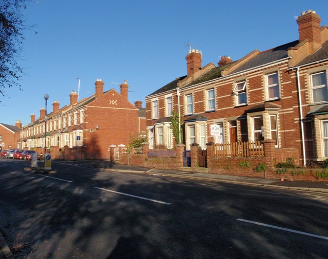
Image: © Derek Harper Taken: 3 Dec 2008
These terraces with decorative patterns in the brickwork are seen from the other direction in Image The further terrace is dated 1903. The road turning off between them is Lime Grove Road, a very short cul-de-sac.
Images are licensed for reuse under creativecommons.org/licenses/by-sa/2.0
Image Location
Latitude
50.718951
Longitude
-3.548543