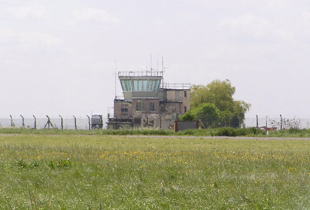
Disused Control Tower, Pershore airfield
Introduction
The photograph on this page of Disused Control Tower, Pershore airfield by Richard Dunn as part of the Geograph project.
The Geograph project started in 2005 with the aim of publishing, organising and preserving representative images for every square kilometre of Great Britain, Ireland and the Isle of Man.
There are currently over 7.5m images from over 14,400 individuals and you can help contribute to the project by visiting https://www.geograph.org.uk

Image: © Richard Dunn Taken: 17 May 2005
1934-1939 Pershore was home to the Worcestershire flying school flying Tiger Moths, at the start of WW2 it was requisitioned, 1941-1944 Operational training unit for Royal Canadian Air Force flying Wellingtons, after the war it became the flying unit for the radar research establishment and recently has become the burial ground for thousands of animals after the 2001 foot & mouth outbreak.
Image Location


